vhclmaps vpfviewer is an interactive map viewer for Vector Product Format (VPF) map databases. It supports the Digital Chart of the World Edition 1 database (or the VMAP Level 0 world-wide database). It supports map layer display of both the summary world map (browse or rference) and the four detailed tiled libraries on each CD-ROM (North America, Europe/Northern Asia, South America/Africa/Antartica and Southern Asia/Australia.) It is capable of displaying these databases with multiple projections, allowing inspection of map feature attributes, and export of map features to ivtools drawing editors.
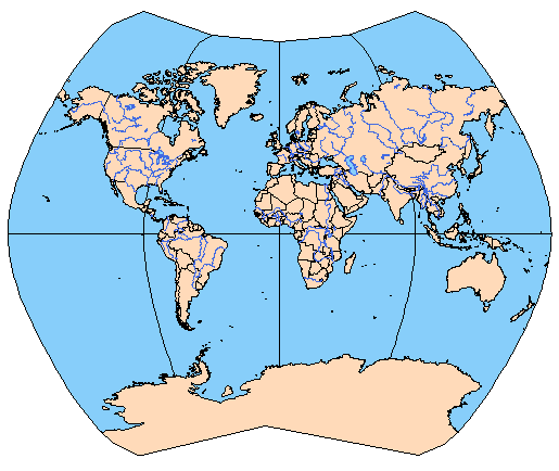
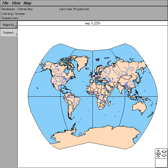
This is a picture of vpfviewer displaying the browse library with political/oceans and drainage areas and lines shown in the Larrivee projection:
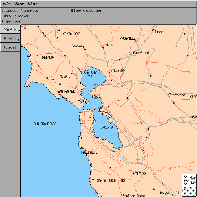
This is another picture of vpfviewer displaying a tile from the noamer (North America) library, with political/oceans areas/lines/text, road lines, railroad lines and populated places points/text shown in the Miller projection.
Download a
vhclmaps vpfviewer binary here and then
acquire and unpack some of the following map data, then run "vpfviewer -mapdb dcw"
| vhclmaps map viewers | vpfviewer | dlgviewer | demviewer | utmviewer |